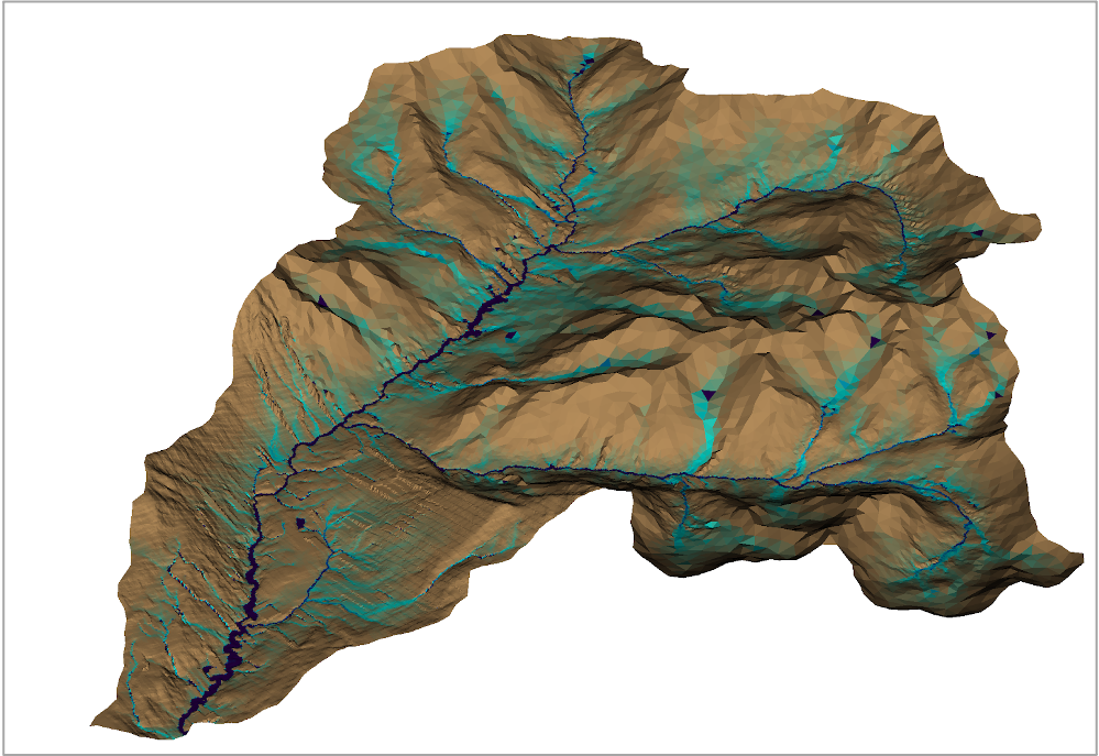
Watersheds provide key resources for human populations, with pressing demands for clean water, food, and energy. In parallel, changing hydroclimate, diminished snowpack, and interacting temperature-driven disturbances, are significantly reshaping interactions within watersheds. The Watershed Function Scientific Focus Area (SFA) is addressing the grand challenge of understanding how mountainous watershed functions respond and adapt to increasing disturbances. Our focus is on understanding the interactions of warming and drought with hydrobiogeochemical functioning in mountainous watersheds of the Upper Colorado River Basin and their retention or release of water, carbon, nitrogen, and other biologically critical elements.
This SFA will identify watershed functional traits, these are observable characteristics that mechanistically link to ecosystem performance. These traits will be assessed within a new trait-based hydrobiogeochemical modeling capability (ATS-EcoSIM), coupling ATS and EcoSIM, which considers watershed compartments’ hydrological, ecological and biogeochemical interactions and adaptation in response to disturbances and feedbacks. High-resolution process-based models will be used to achieve mechanistic understanding across scales. Combining remote sensing, field-based observations, laboratory experiments, and machine learning (ML), we will decipher patterns of watershed functional trait covariance and develop ML-based surrogate models to transfer and scale mechanisms. The goal is to gain a predictive understanding of mountainous watershed function and provide valuable insights for sustainable water resources management, land use planning, and climate change adaptation in mountainous regions worldwide.